

Top Snorkeling and Scuba Diving in Maricopa County
Ready to check out the best sites in Maricopa County for scuba diving, snorkeling, shore diving, free diving or other ocean activities? Zentacle has 5 dive sites, snorkel spots, beaches, and more. Discover hand-curated maps, along with reviews and photos from nature lovers like you.
No matter what you're looking for, you can find a diverse range of the best ocean activities in Maricopa County to suit your needs.

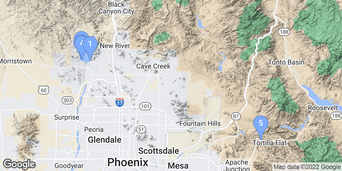


#1 - Vista Point
USA, Arizona, Lake Pleasant
East side of Lake Pleasant. Vista Point is located at the end of a very old boat ramp.
#2 - Acacia picnic site
USA, Arizona
It's the closest 'open water' site from the East Phoenix area, solely used for dive training and as a picnic area. The lake is stocked with fish, but don't expect to see them. It's a man-made rock lake with a sandy beach, and the swimming / dive area has buoys to keep boats and jet skis out. Water temp is usually 50-60F.
From the Phoenix area to Canyon Lake: Take Highway 60 (Superstition Freeway) to Apache Junction. Exit at Idaho Road and turn North to Highway 88 (Apache Trail). Travel 14 miles Northeast on Apache Trail, on the left between the first and second bridges. There's a large sign for the picnic area, with a short walk from parking down to the beach.
#3 - Desert Tortoise Road
USA, Arizona, Lake Pleasant
West Side of Lake Pleasant. This is located where the road meets the lake.
#4 - Scorpion Bay & Dirty Shirt
USA, Arizona, Lake Pleasant
West side; a new marina is being built on this site... Argh!
#5 - Beismeyer Point
USA, Arizona, Lake Pleasant
Depth and vis changes during the year. In the early spring you can get to 90+ feet with 30+ foot vis. During the summer and fall you will have 40-60 foot depths and vis will be between arm's length to the other side of your mask.
Great spot for classes. Very easy access to water. We set xmas trees at 60' in January to form a reef of sorts. Popular spawning ground for Bass
Enter the park on S. Park Rd, go past Desert Tortoise Rd about 1/2 mile is a hidden left onto Sunrise Rd. Follow it to a T intersection. Go left. The road runs into the lake at Beismeyer Point.