Difficulty
beginner
Viz
N/A
Max Depth
85 ft
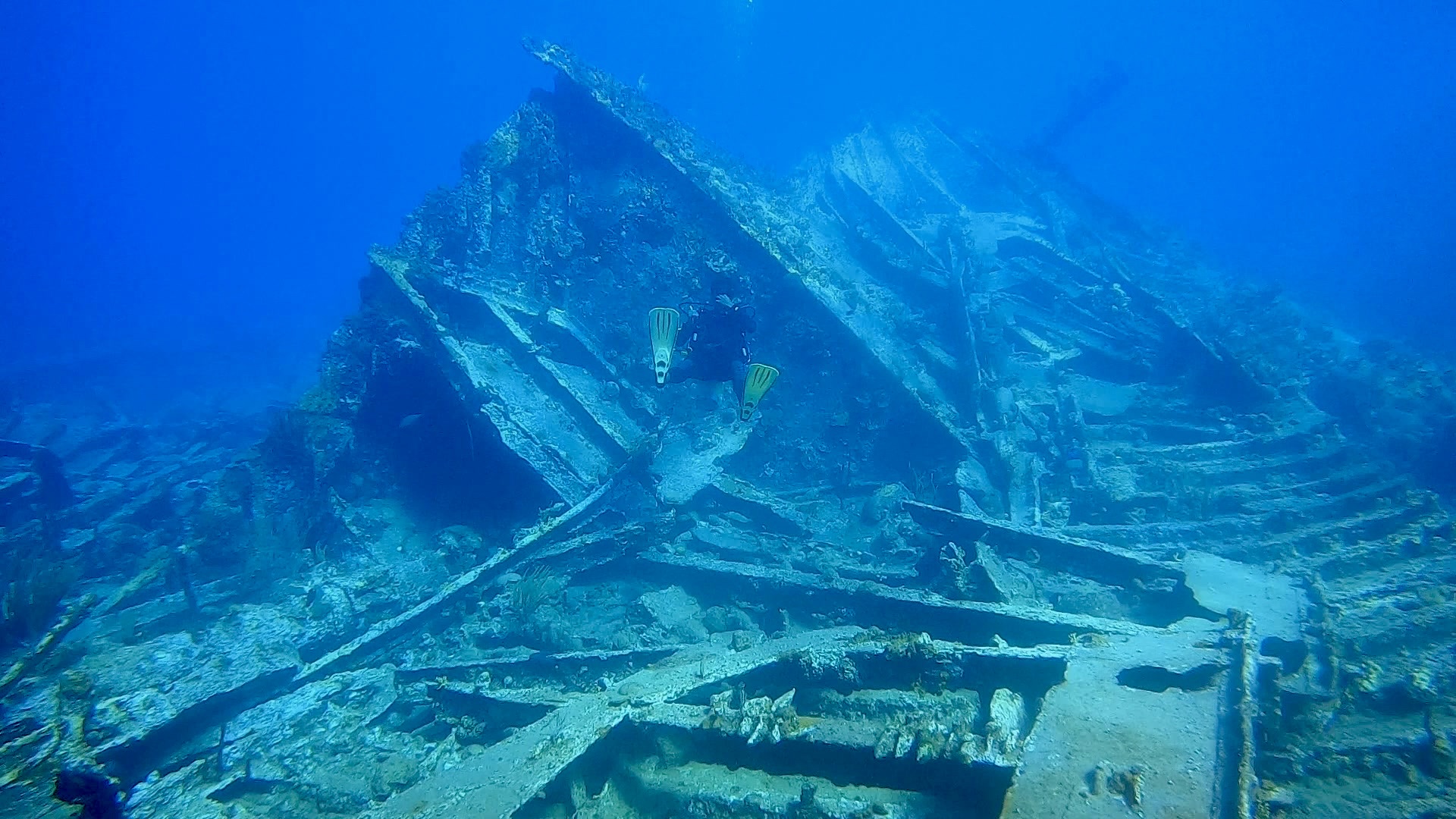
Snorkeling and Scuba Diving at Inganess Bay Wreck
The Inganess Bay was a wreck deliberately sunk as a dive site, similar to the Beata, Mary L and Pat in nearby "Wreck Alley". The Inganess Bay was sunk further out, and thus sits solely on a bed of sand with no nearby coral reef to populate the wreck. Accordingly, it still remains largely devoid of marine life and is dived much less frequently than the other wrecks.
By boat only. The site is 3 minutes from Cooper Island (Southern side), adjacent to "Wreck Alley" mid way between Cooper Island and Salt Island. It is approximately 25 minutes by boat from Road Town, or about 15 minutes by boat from East End.
Mooring balls have been placed upon the Wreck by the National Park.
Inganess Bay Wreck is also known as Inganess Bay.
Access
boat
View
Nearby Shops
Tide Report


5
4
3
2
1
(0)
No reviews yet. Be the first!
Other Locations Nearby