Difficulty
beginner
Viz
N/A
Max Depth
13.1 ft
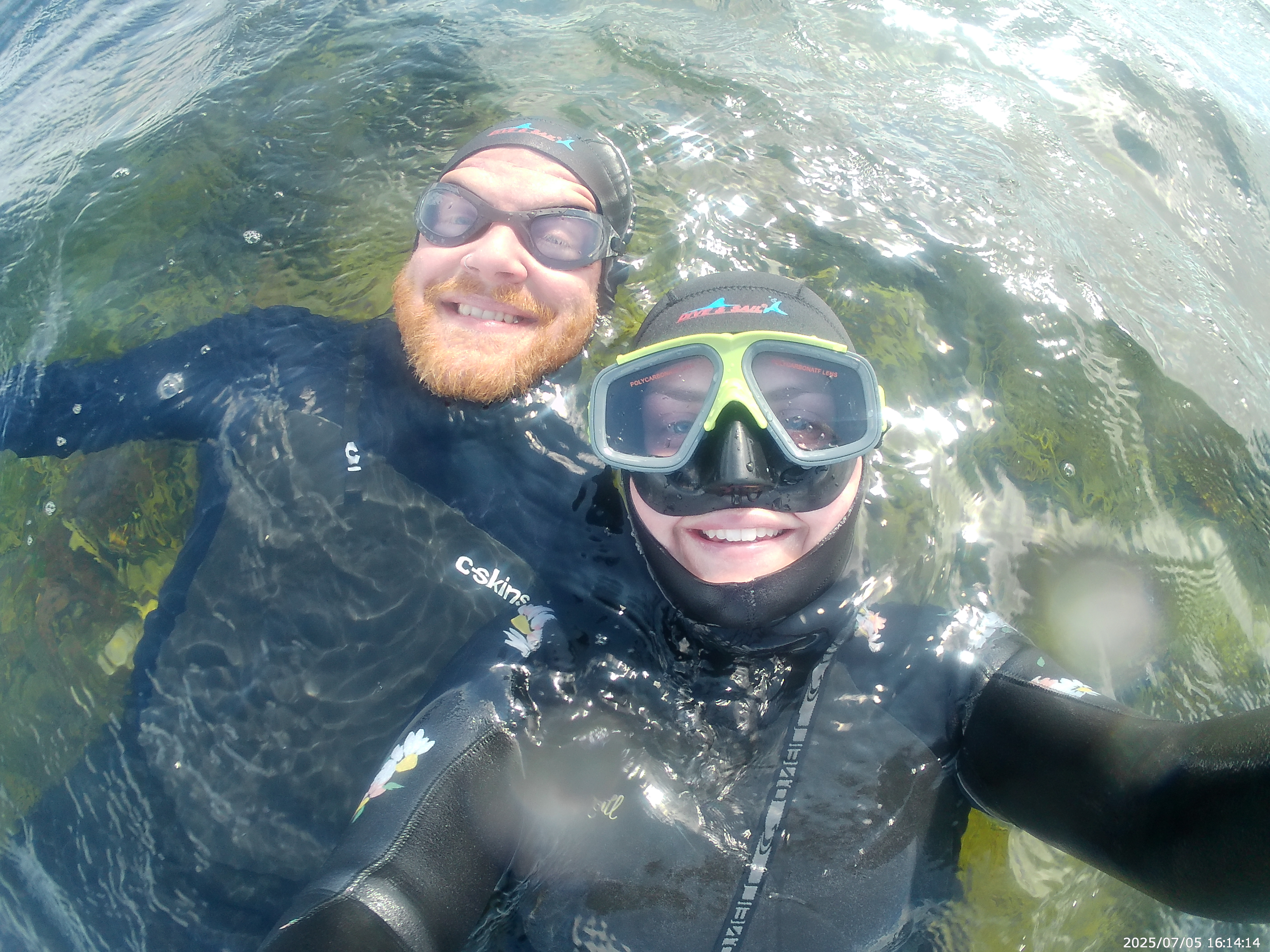
Snorkeling and Scuba Diving at St Mary's Lighthouse
The easier of two dives possible off the island. Enter water off rocks which are mostly sheltered from the waves. Dive follows island round to the north east. Rocks start around 2 metres from the surface and have various cracks containing crabs etc. Smaller kelp grows on the rocks and grows bigger as you head east. After the rocks is a small kelp forest.
Park in the car park to the west of the island at 50p per hour. Access to site is a long walk across the paved causeway and then across the rocks surrounding the island. The site is tidal and the causeway can only be crossed at lower tides.
St Mary's Lighthouse is also known as St Mary's Island.
Access
shore
View
Nearby Shops
Tide Report


5
4
3
2
1
(0)
No reviews yet. Be the first!
Other Locations Nearby