

Top Snorkeling and Scuba Diving in Improvement District No. 9
Ready to check out the best sites in Improvement District No. 9 for scuba diving, snorkeling, shore diving, free diving or other ocean activities? Zentacle has 2 dive sites, snorkel spots, beaches, and more. Discover hand-curated maps, along with reviews and photos from nature lovers like you.
No matter what you're looking for, you can find a diverse range of the best ocean activities in Improvement District No. 9 to suit your needs.

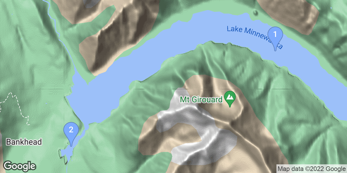


#1 - Lake Minnewanka
Alberta, Canada
Lake Minniwanka has been dammed 3 times in its history. The most recent dam, built in 1941, flooded the 1912 dam site, as well as an old bridge and town. Both of these sites are located a short distance away from the newest dam. The remnants of an old bridge can be found near the stairs located at the south end of the dam. Swim due east from the plaque on shore. Not much remains of the dam, aside from a few pilings and the bank heads. Depth is 15m(50') at the top, and 24m (80') at the bottom. The dam, pump house, and foundations of some support buildings can be found north of the bridge. The easiest way to find these objects is to park mid-way along the dam, and swim out at an ~60 degree bearing from the #12 sign. This should put you on the dam. If you find yourself in a valley turn to the right (60 degrees usually puts you a little north of the dam), and follow the valley to the dam. The damn itself contains a pump house, which you can swim through. The dam is completely intact, consists of both a concrete dam and wood/rock coffer, and is quite interesting to look at. Dam is usually at 18m (60') at the top and 27m (90') at the bottom. North of the dam are several other things you can look for - the foundations of several old support buildings, a well, an old row-boat, and other artifacts can be found in this region. Water is usually around 18m (60') here. There is also a complete town site located mid-lake. Some divers scooter from shore to this site, but for most divers it is out of reach unless they have a boat. Rumor has it that there is also an old ranger station/dock accessible from shore, although I have never seen the location of that site listed. Lastly, located east of the picnic area are a series of cliffs. Enter at the gravel bay, swim around the point, and follow the cliffs north. Often fish can be spotted here, and its a great place to look for fishing lures/gear. Depths to 21m/70'. Because this is a dammed lake the water levels can vary greatly. The depths listed here are the usual, although they can be up to 3m/10' deeper, and as much as 10m/30' shallower. Vis varies greatly - from >10m/30' in winter/spring, to as little as 15cm/6" during the worst of the run-off. The dam site is located in a protected area, but you should fly a flag if diving the cliffs or bridge. Lots of people fish of the gear - keep an eye out. This site is at 1500m/5000' above sea level - altitude tables are required.
Dangers include cold water, poor visibility and altitude (4500 ft). These are advanced dives.
From the town of Banff take Banff Ave out of town, and follow it to Lake Minnewanka. There are three shore-accessible dive sites. For the bridge site, park at the stairs located on the south end of the dam. For the 1912 dam/foundations park mid-way along the dam, near the bend/#12 sign. The third site is the cliffs - park at the main parking lot and lug your gear to the picnic area.
#2 - Two Jack Lake
Canada, Alberta
Bottom Contour:
A gradual slope with a bowl approx. 150 feet to the left from entry point.
Bottom Composition:
Coarse sand bottom at entry point with silt / sand bottom throughout.
Visibility:
Can be poor due to green algae during summer months.
Depth:
Depths are mostly in the 20 foot range with 50 feet at bottom of bowl.
Marine Life:
Abundance of fresh water shrimp and many trout frequent the area.
Vegetation:
Vegetation consists of grassy weed beds.
Underwater Attractions:
Barrels and cables is all that remains of an old dock system.
Approaching Banff from Calgary on Hwy #1 turn right after taking the first Banff / Lake Minnewanka exit. Turn right at the "T" intersection. Follow this road across a Texas gate to the first right hand turn. Here you will find a sign posted for Two Jack Lake. Turn here and follow the road for 6km past Two Jack Lake campsite and turn right at the lake sign. The parking and washrooms are on the left. On the right is the day use area, straight ahead is the beach.