

Top Snorkeling and Scuba Diving in Montenegro
Ready to check out the best sites in Montenegro for scuba diving, snorkeling, shore diving, free diving or other ocean activities? Zentacle has 7 dive sites, snorkel spots, beaches, and more. Discover hand-curated maps, along with reviews and photos from nature lovers like you.
No matter what you're looking for, you can find a diverse range of the best ocean activities in Montenegro to suit your needs.

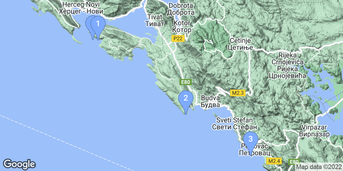


#1 - galiola
Montenegro, Budva
Galiola location-Reef
Updated Feb 26
The cliff which slightly touches the sea surface and goes down to 27m is represents one of the most interesting diving locations. Although it exists on the maps these shallow waters are not marked on the surface, therefore it represents a great danger for all participants in marine traffic. Two vertical tunnels which divide the cliff, diverse and rich underwater world and the mine dating from the WW1 are recommendations for this location. It is only 10m by boat away from the center.
Southwest of Sveti Nikola Island; south of Budva
galiola is also known as galiola.
#3 - Platamuni
Montenegro, Budva
Platamuni is a 0-star rated scuba dive and snorkel destination in Montenegro, Budva which is accessible from shore based on 0 ratings.
#5 - Mali Katic
Montenegro, Petrovac
Mali Katic is a 0-star rated scuba dive and snorkel destination in Montenegro, Petrovac which is accessible from shore based on 0 ratings.
#7 - Tihany
Montenegro, Kotor
On the 12th of February, 1917 Tihany was carrying 129 tonnes of coal and a tank wagon of oil from Kotor to Bar, when navigation difficulties due to the sea mines in the area led to the ship running into Cape Arsa. Efforts were made to tow the ship, but the hull was severely damaged, and Tihany found its watery grave 40 metres under the surface.
The bell recovered from the wreck by our team in 2004 undeniably confirmed the tragedy of Tihany.
The impressive wreck of Tihany lays in the entrance of the Bay of Kotor, next to the island Mamula. The Austro-Hungarian Sea Steamship was built in Trieste in 1908 with a length of 45.40 metres, depth 3.04 metres, width 5.75 metres and a gross displacement of 204 tonnes. It had two masts to support its sails; with the aid of the wind and the 425BHP triplex steam-engine Tihany could reach speeds up to12 knots.
6th Nov 2010 Wreck position is: 42° 23.997' North, 18° 33.459'East. This is about 430m to the North of Mamula Island.
Tihany is also known as Wreck of Tihany.