Difficulty
beginner
Viz
N/A
Max Depth
24.9 ft
Snorkeling and Scuba Diving at Mill Creek
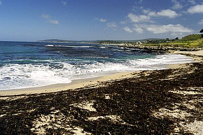
This spot has a large kelp bed that can be quite thick in the late summer (before the winter storms have ripped it loose). The reef the kelp is attached to has sand channels in between that I have seen sanddabs and halibut lurking. The rocky areas have lots of rockfish (mostly blues, blacks, olives, black/yellows, gophers, kelps), cabezon, lingcod and other regular fare.
The rocks here are covered in low kelps and invertebrates. Pterogophora understorey with Nereo/macro canopy on top is pretty common. Lots of sea stars, anenomes, and sea cucumbers. Most of the rocks are covered in encrusting invertebrates and small mobile invertebrates, so there is always lots to see.
In the late spring the young of year rockfish form good sized schools under the kelp canopy.
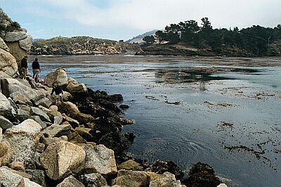
This area does see some small scale life fish commercial fisherman. They launch their aluminum boats from the beach here and fish from about Lopez Point down to Ragged Point.
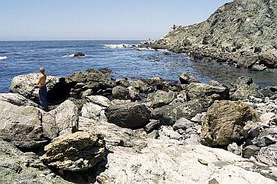
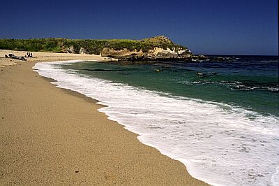
This is a beach access spot on a remote stretch of the California coastline. You can pull off hwy 1 into the Mill Creek free day use area. There are bathrooms, barbecues and plenty of parking. The beach is a short walk from the parking area down a small drop-off to an area with cobble and sand to walk on. You follow this around the cliff face to the North (which may be damp at a high tide) to a sandy beach, with large coarse sand. The beach is a steep drop but is easy to access or to launch a small boat or kayak.
Getting here by boat would take a long time, and you would pass better dive spots on your way.
Access
shore
boat
View
Nearby Shops
Tide Report


5
4
3
2
1
(0)
No reviews yet. Be the first!
Other Locations Nearby