Difficulty
beginner
Viz
N/A
Max Depth
42 ft
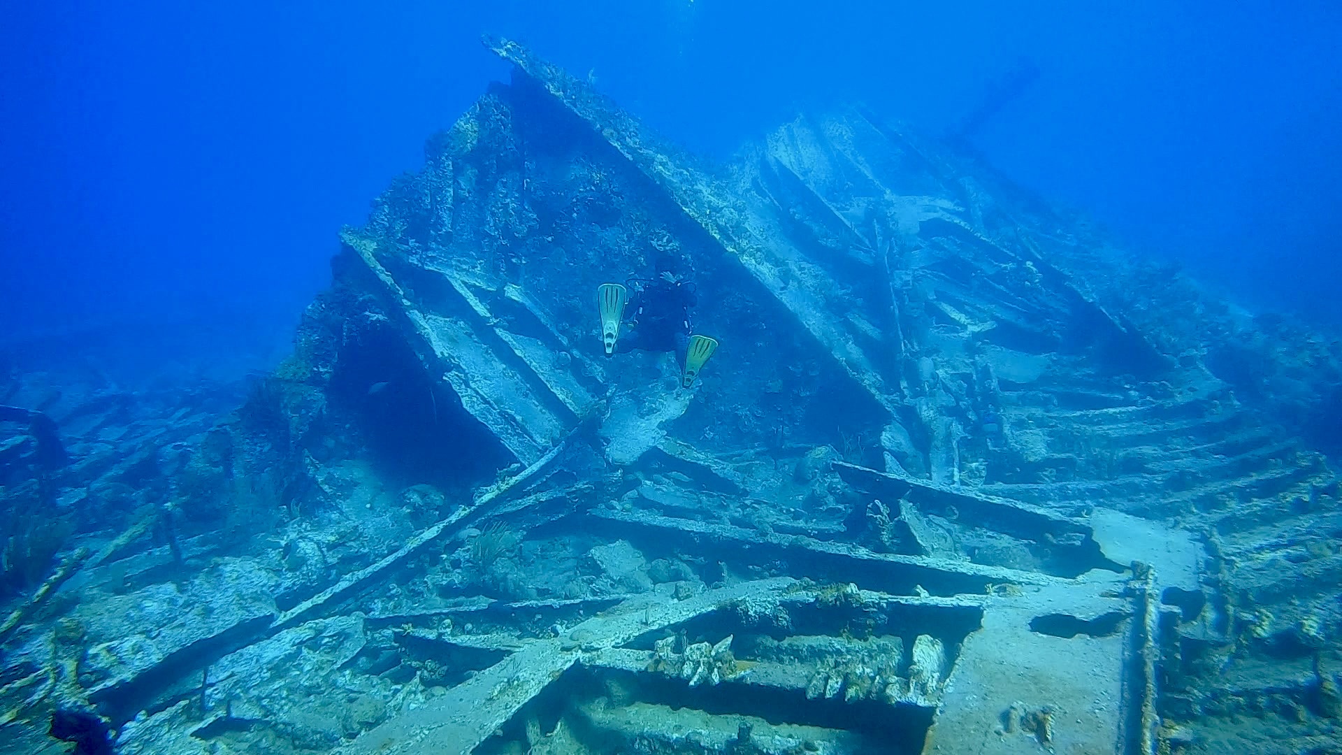
Snorkeling and Scuba Diving at Blonde Rock
Blonde Rock is a set of two pinnacles rising from 20m to within 3,5m of the surface. Lots of valleys and ledges. Saw turtles and barracudas; some sharks have been reported here. Lots of lobster.
Forms part of the RMS Rhone national marine park.
The site gets in name from the long brownish yellow sea whips that populate the top of the pinnacle.
A difficult site to dive when the weather is rough.
Can only be accessed by boat. About 15 minutes from Road Town, and about 8 minutes from Peter Island.
Located between Dead Chest and Salt Islands. There are two Mooring buoys. When water is calm, you can see the top of the pinnacle. When rough, it can be hard to locate the buoys.
Blonde Rock is also known as Blond Rock.
Access
boat
View
Nearby Shops
Tide Report


5
4
3
2
1
(0)
No reviews yet. Be the first!
Other Locations Nearby