

Top Snorkeling and Scuba Diving in Simcoe County
Ready to check out the best sites in Simcoe County for scuba diving, snorkeling, shore diving, free diving or other ocean activities? Zentacle has 5 dive sites, snorkel spots, beaches, and more. Discover hand-curated maps, along with reviews and photos from nature lovers like you.
No matter what you're looking for, you can find a diverse range of the best ocean activities in Simcoe County to suit your needs.

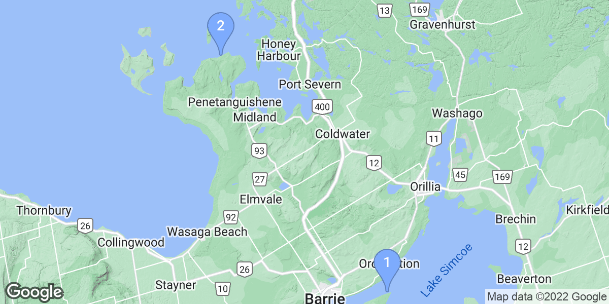


#1 - The JC Morrison
Canada, Ontario
The JC Morrison ( approx 75 ft long)is a dual side wheel paddler built in 1854 that sank after catching fire in 1857. She was cut adrift from the nearby wharf to save other ships and sank where she currently lies after burning to the water line.
Initially, both paddle wheels were present on the wreck but a local sailing club took it upon themselves to remove them to deeper water. After getting their behinds smacked for doing this, they managed to locate one wheel and dragged it back to the wreck. The other is still missing. The remaining wheel lies on it's side about 40 feet from the port side of the wreck, 20 feet aft of the bow. The hull is almost flattened, other than the walking arm ( part of the engine) which protrudes towards the surface. If you're looking for Bass with attitude, this is where they hang out.
Of note, there is a plastic encased artifact case attached to the bow, directly below the surface marker line. A clay tobacco pipe is the most easily identified artifact. If you follow the hull aft, you'll eventually come across a line leading out into the gloom. There is a tank like structure there that is commonly mistaken for the ship's boiler, but apparently has nothing to do with the wreck at all and is just something to look at. Following that line further ( about 2 more minutes) will lead you to the city of Barrie's water treatment outfall pipes. If you're cold, this is the place to warm up. That water is bathtub warm and also clean. You can also use the outfalls as a means of propulsion from one to the next as they are little jet engines when you cup your hands in front.
The viz on site varies considerably with both weather and if there have been classes in the last hour or so as it's a popular OW training site and mud puppies abound. It can be 40 ft...it can be nothing. If the wind is onshore ( from the east), viz drops too.
It's a fun little dive to do if other sites are weather bound as this one rarely ever is closed other than for effluent problems.
Edit: What a difference two years makes!!!I dived the JC a week ago after a two year hiatus. Silt's still there, viz still iffy but my gawd has the bow been busted up. It's been twisted 90 degrees to port!!!! The supports for the walking beam are going as well. The diver traffic has gone up substantially with many operators using this site as a training ground which explains a lot. Not even the fish want to hang around there anymore.
Shore dive: Grab a spot in the parking lot and approach the water (only a 20 second walk). You'll find a tree stump with a line either attached to it or on a chunk of concrete nearby. This is your entry, watch your footing and don't stir up too much muck or you'll have difficulty finding the line again. You could always surface swim to the marker if need be, it's about 300 feet out.
Dive flags are a must here. The area is supposed to be off limits to PWC's but they show up anyway and the wreck attracts fishermen.
#2 - Big Bay Point
Canada, Ontario
Cautions: Fisherman on Pier, Boat Traffic - always use Dive Flag Float and minimize time in shallow water.
#3 - Mapledawn Wreck
Canada, Ontario, Lake Huron
Mapledawn Wreck is a 0-star rated scuba dive and snorkel destination in Canada, Ontario, Lake Huron which is accessible from shore based on 0 ratings.
#4 - Luckport
Canada, Ontario, Lake Huron
Enter the water head north the decent will be all rock till the bottom is all sand head east right hand turn travel 350 ft following the sand rock line the wreck will be to your right with in visibility from the rock sand line.
From shore there are 3 rock piles piled to the north the wreck is 20' infront of the 3rd pile
Located on Champlain rd just before Awenda park but past Sawlog bay Store on Tomahawk Cres. Traveling from the Sawlog Bay Store make a right on tomahawk follow to a left hand turn park just past the next left the sunset trail entrance marker #37 is there walk the trail it will take you to the water facing Giants Tomb Island. There is a picnic table there.
#5 - Green River
Canada, Ontario
The Green River is a nice little spot to dive. Between the two bridges are a myriad of things to look at. Including old radios, and bottles to a broken in to safe! It's a shallow and easy going dive, though the swim back upstream can be a bit tiring.
You can just enter the river from the river bank.