Difficulty
advanced
Viz
N/A
Max Depth
80.1 ft
Snorkeling and Scuba Diving at Beachcomber Deep Wall
The dive: Swim out a minute then hang right and find the 30 ft contour. Swim a few minutes until you find the shallow wall (4 mins or so). Pass this wall start going down over the boulder field (bottoms at 65 ft or so) and stay along that coutour continuing NW. A short while - 12 mins from the beach - you start seeing the bedrock at the start of the wall. Crenelated at first, angle down to say 95 ft. When you reach the cable, swim just a bit further then go down deep. Bottoms well below 250 ft, on the chart says almost 300 ft. Overhanging skyscraper type wall in places. I have hit 234 ft.
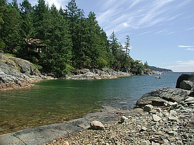
Beach access is at Beachcomber Regional Park, on Cottam Point, north shore of Northwest Bay. Walk trail to beach (nice gravel at high tide, slippery larger rocks at low tide) and enter.
Access
shore
View
Nearby Shops
Tide Report


5
4
3
2
1
(0)
No reviews yet. Be the first!
Other Locations Nearby